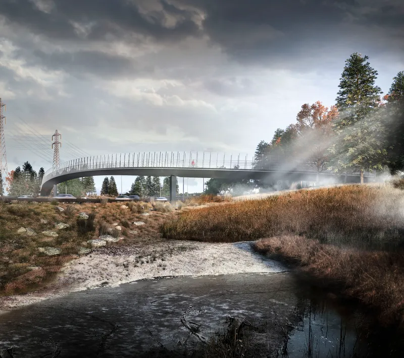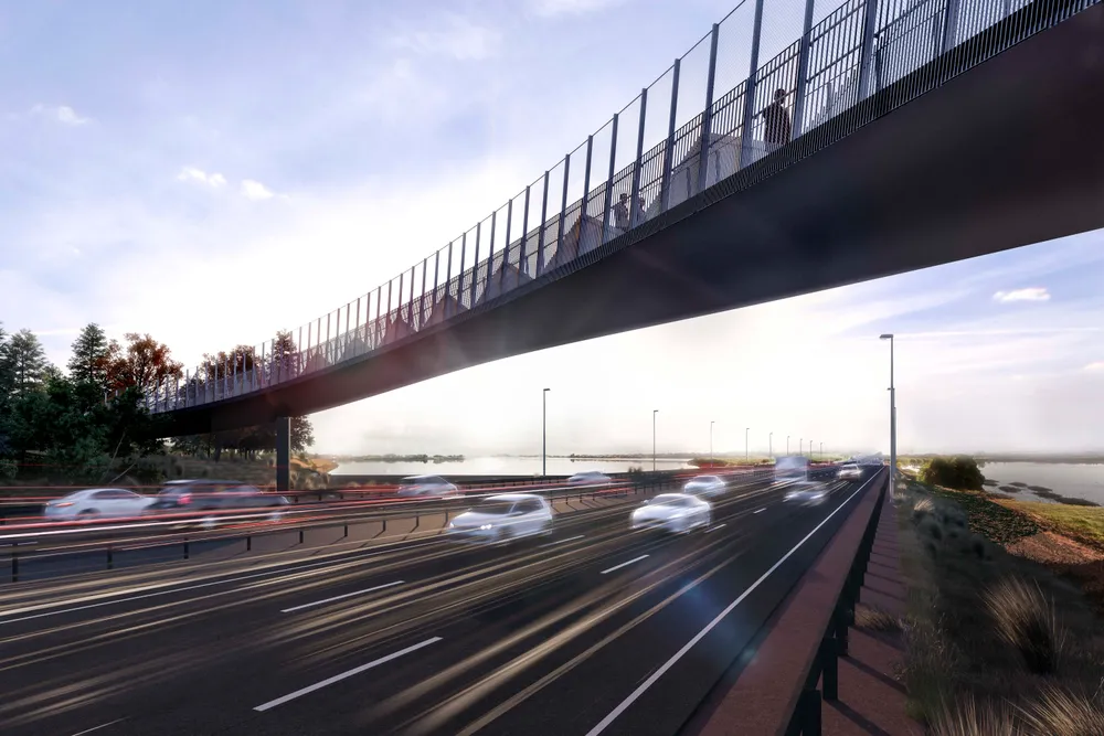

The purpose of the larger project was to construct additional lanes and associated infrastructure on State Highway 1 (SH1) between the SH1/SH20 (Manukau) and Hingaia Road (Papakura) interchanges. We worked closely with the engineering and construction teams to refine earlier concept proposals and embed cultural identity elements into the shared path footbridge through engagement with local iwi and the NZTA’s urban design advisors.
Up until now walking and cycling in the area has been limited, with few facilities and safety challenges including a lack of safe motorway crossing points.
The new path provides more reliable and safe transport options and is expected to be a popular recreational choice for locals, getting them out and about for exercise with their friends and whānau.
The project is improving motorway capacity and efficiency but cycling is Auckland’s fastest-growing transport mode and this bridge will provide a wonderful community connection for pedestrians and cyclists.

The 106.5 metre curved bridge at Pescara Point is shaped like an eel and includes a scale-type pattern within the balustrade and on the retaining wall approaches. The design solution acknowledges and works with the physical constraints of the site as well as the design requirements of the urban design and landscape framework.
Mana whenua have gifted the name ‘Te Mara O Hine’ to the footbridge, which means ‘The Garden of Hine’. Hinewai was an ancestor of Waiohua who was locally renowned for her expansive gardens and for feeding the people. Eight iwi artworks, led by iwi artist Henrietta Nicholas, have also been installed as part of the wider SCI project, with four located along the Southern Path.
This path provides a missing link across the harbour and connects in with a city-wide cycling and walking network being developed, which encourages communities to use more active modes when travelling shorter distances.


